About Us
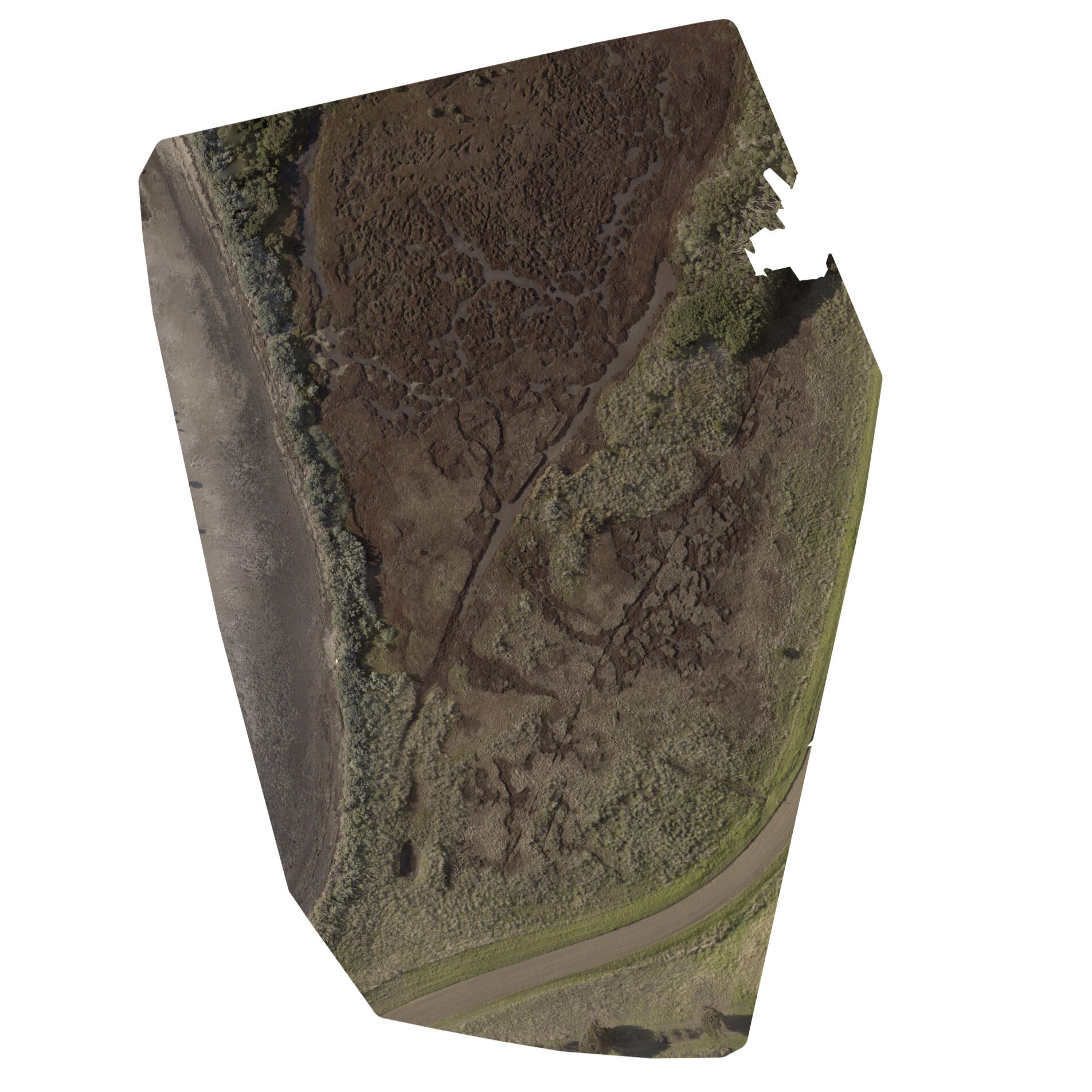
DROVANES specialises in drone-based data collection for environmental analysis. Using drone technologies DROVANES scans the environment and its physical features such as flora composition and terrain to provide clearer data for land managers to effectively use available resources for ecological restoration.
Services
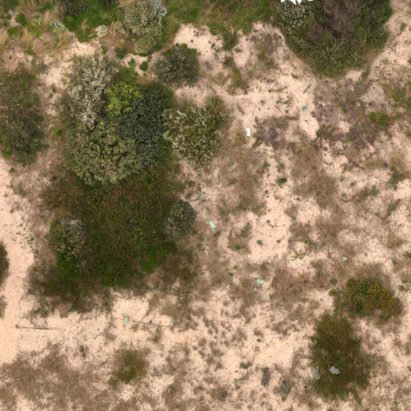
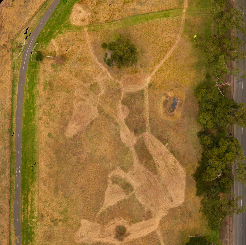
Orthomosaics
High resolution
Geo-referenced
Low cost
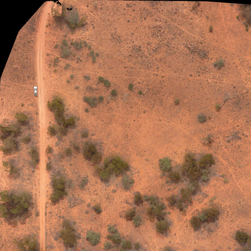
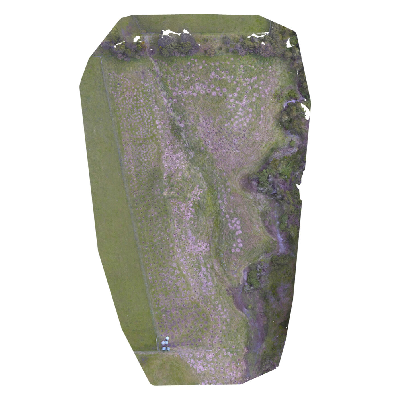
Flora Survey
Weed Identification
Weed % cover mapping
Ecological Vegetation Class (EVC) mapping
Work Auditing
Aerial records of works
Progress tracking
Environmental process monitoring
Modelling
Terrain visualisation
Volumetric data
Topographical data
How Can We Help?
Contact Us Today To Find Out How DROVANES Can Provide Your Environmental Solution
Thank you
A representaive will get back to you shortly
2D Mapping
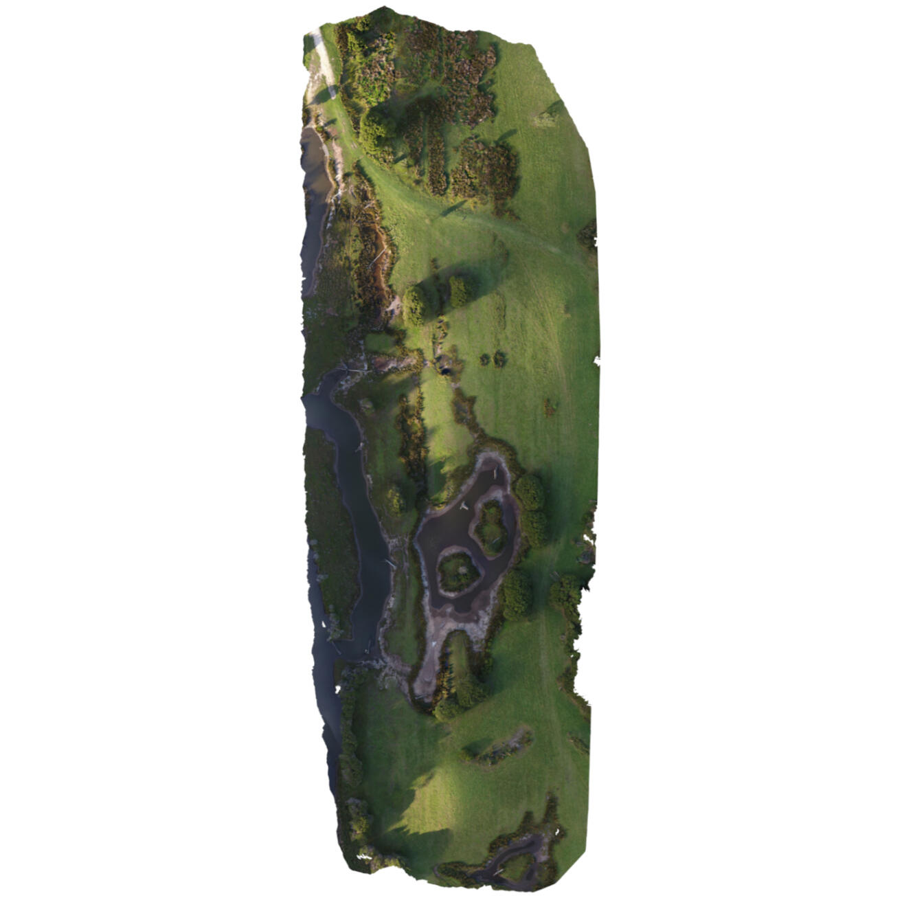
3D Modelling
All models available on:
https://sketchfab.com/drovanes/models
Revegetation Project
Redbird Shipwreak
Photography
Currently Under Construction
Gallery Here